Download the PDF version of this Discussion Guide (PDF 5 MB)
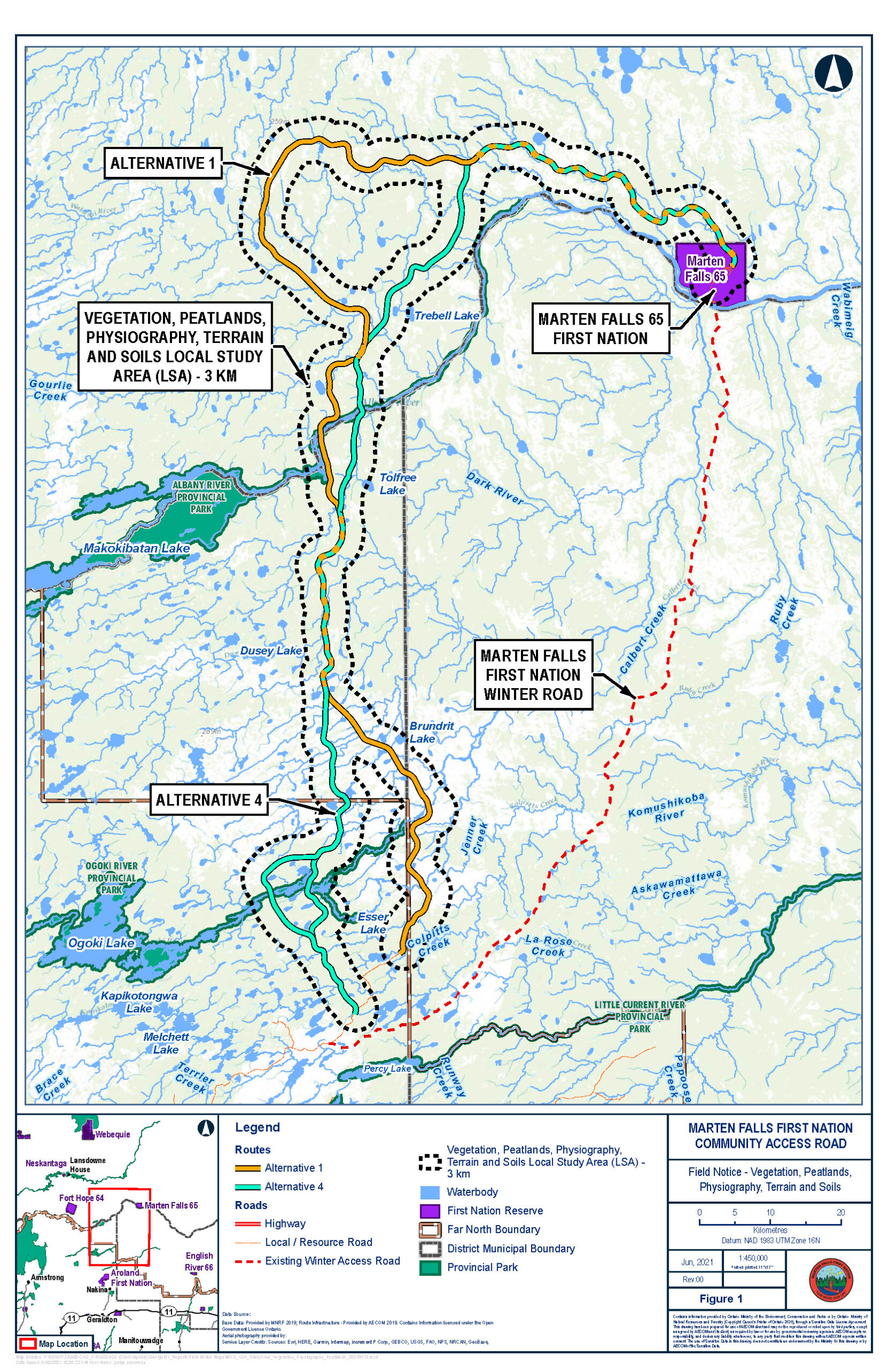
The Vegetation, Physiography and Peatlands Field Program—to document and understand vegetation, physiography, terrain, soils and peatlands in the study area—is continuing for the federal Impact Assessment (IA) for Marten Falls First Nation’s proposed All-Season Community Access Road. The Terms of Reference (ToR), a framework to guide the provincial Environmental Assessment (EA), is currently with the Ministry of the Environment, Conservation and Parks for review and decision. If the ToR is approved, this field program will also inform the provincial EA.
The purpose of this Discussion Guide is to provide an overview of this Field Program and receive your feedback on key questions. Your insight will help shape the program.
Vegetation
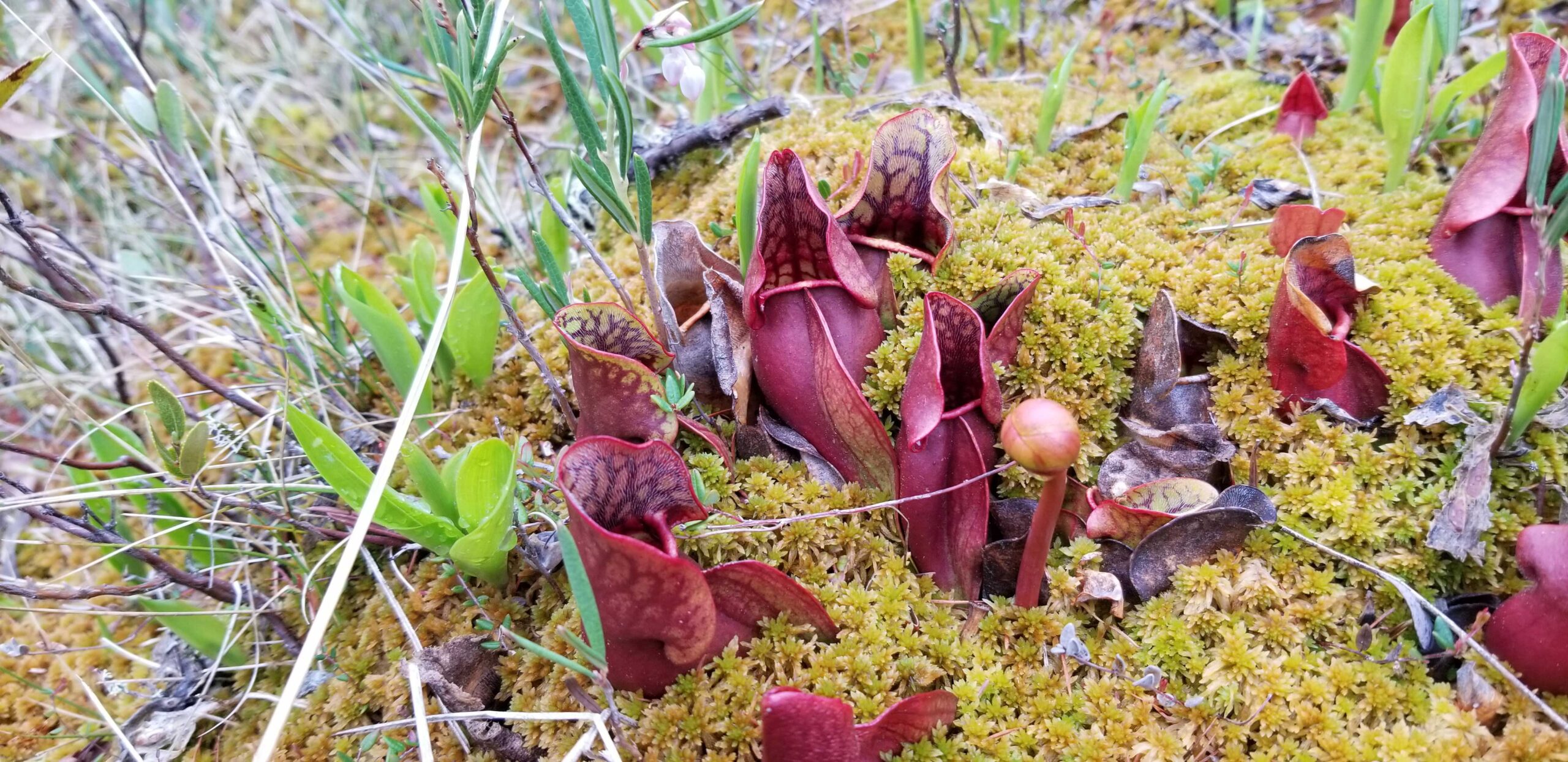
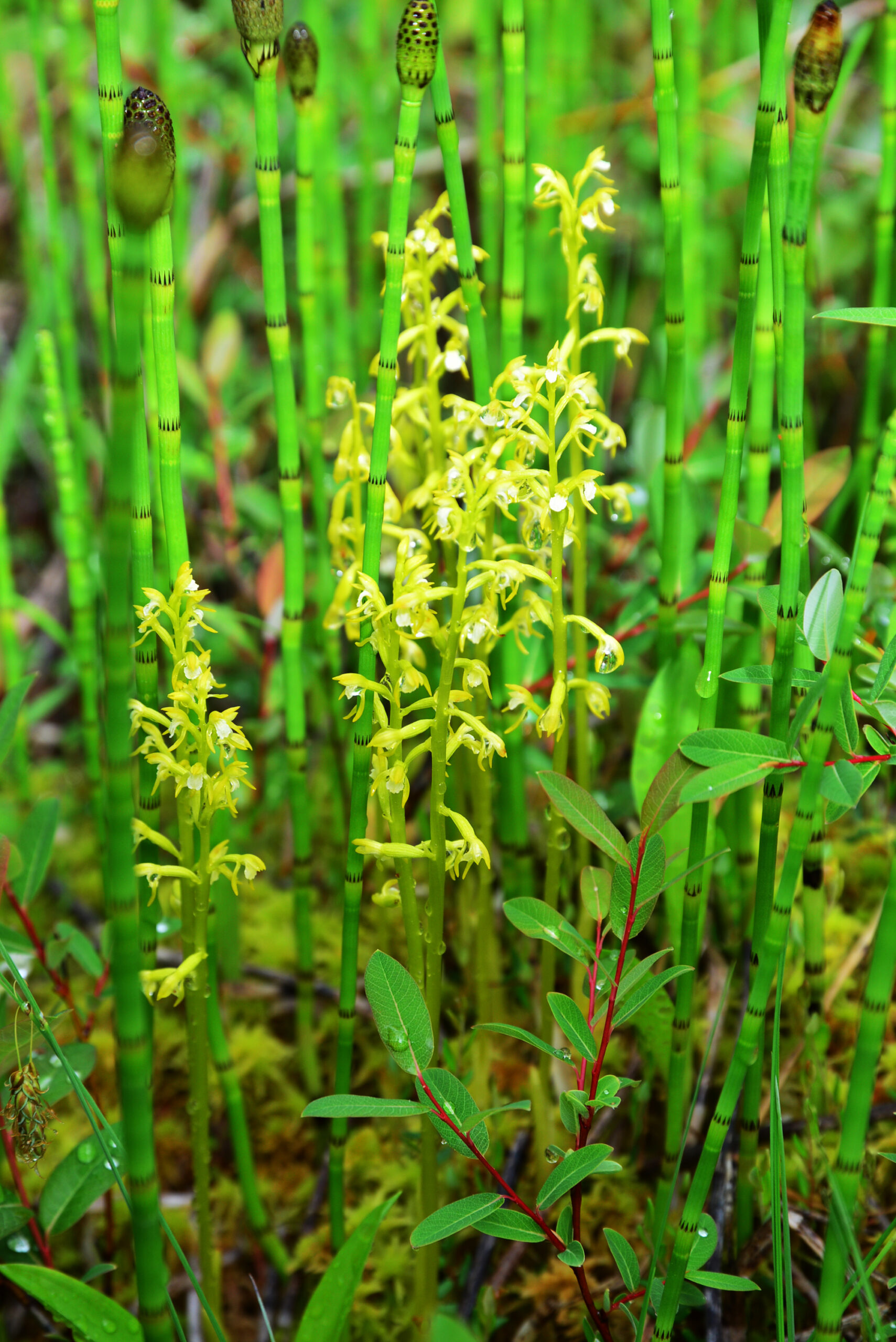
Vegetation means plant life (trees, shrubs, grasses, mosses) found in an area.
Peatlands
Peatlands (muskeg or mashkiig) are a type of wetland with peat soil and mosses, grasses and shrubs or stunted trees.
Physiography
Physiography is the study of the physical features of the land including terrain and soils.
What's Happening?
The field program will collect information on plants, geologic features, and soil conditions including moisture and nutrient levels. This information is important to better understand the current conditions and relationship between the soil and the ecosystems that depend on it, including plants that grow in the forest (e.g., Jack Pine (Okikatik)) or wetlands (e.g., various willows (Wiisihkobihmagoon)).
This is a continuation of field studies that took place in June 2019.
This field program includes both visual plots and ground plots:
- Visual plots: field staff walking on the ground or looking from the helicopter. There will be between 150 and 180 visual surveys.
- Ground plots: field staff will use a hand auger in the ground for information. This will inform the overall terrain mapping of the Project area and will include information on: how deep the bedrock is, topography (land surface features), slope, drainage and geological processes such as permafrost, seepage and high water tables. There will be between 50 and 60 ground plots.
When?
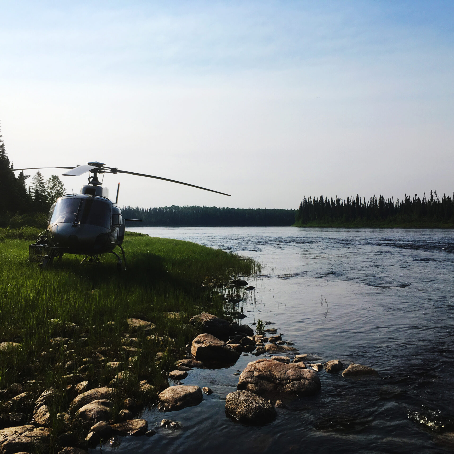
The field program will be approximately 16 days between mid August and end of September 2021. Exact dates will be provided once confirmed. Field crews will be accessing sites across the study area by helicopter during the field program. The helicopter will only land in natural clearings or airports.

We Need Your Input!
Both Indigenous Knowledge and western science are key to understanding the environment, and will help to decide where the road will go. Currently, we are looking for high-level feedback on items we should be aware of when undertaking this season’s scientific field studies in the areas identified on the provided maps. The planned field studies involve mostly low impact activities and will follow all applicable regulations and guidelines. Indigenous persons continue to accompany the survey crews to support this important work.
Indigenous Knowledge and information on Indigenous land and resource use in the area of the proposed routes can be shared through the Project’s Indigenous Knowledge Program. If you have sensitive and confidential information that you would like to share through this Program, please let us know. We will ensure your knowledge is protected.
Your input is an important part of shaping this field program. If you have any feedback on the following questions, we would like to hear from you:


